Tool of the week: Google Follow Your World
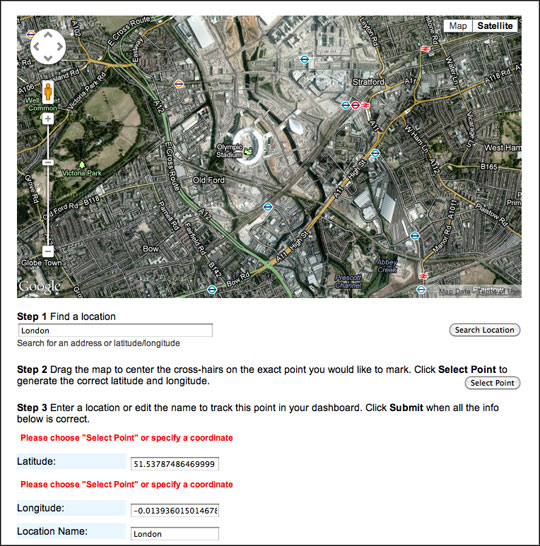
What is it? Add a location and Google will notify you every time a new satellite image is added for that location.
How is it of use to journalists? Mark a location and each time Google updates the satellite and aerial imagery in your area of interest, you will be notified.
Think of it as like Google Alerts for mapping information.
Consider the possibilities for digital journalism in having images showing the changes to the Olympics site, an area of coastal erosion or the development (or lack of change) within the Government enterprise zones.
It is a tool that requires patience as it may take months or even years for Google to update the aerial imagery for your area of interest.
