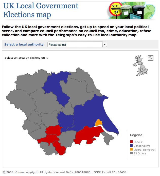
The Telegraph has created another political map of the UK, this time giving a regional breakdown of local politics.
The interactive map makes use of local council data, such as council tax figures, local services info and the political make up of the authority, which users can browse by area.
The paper says this is a long-term project and data on the map ‘will be enhanced and updated continuously’
We offer a wide range of ready-made products and a unique service for the implementation of exclusive HTML5 games. https://2wpower.com/en/turnkey-casino-solution With 2WinPower, you will become a successful investor owning a competitive casino platform with high marginality and a short payback period.