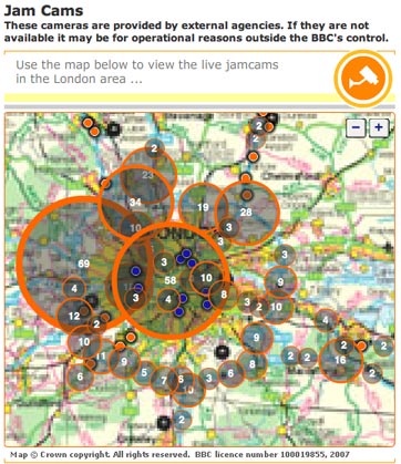
The BBC is using Ordinance Survey maps to display traffic hotspots based on info from its Jam Cams.
Clicking through the flash-generated map takes you through to a live Jam Cam video feed which is updated every 10 minutes. The bigger the circles on the map, the more cameras are available in that area.
The BBC formerly used Google maps for the project, but has switched to the new format
That is really cool. Our technology is amazing in this world. If you live in the London area and you can get into one of Jam Cams then you can cut down your commute. This is like something out of Bourne Identity.